Tehri Garhwal, June 3-5 | 2023
- Sant Mote
- Jul 14, 2023
- 5 min read
The Tehri Garhwal traverse began from Bellakhal to Pinswari via Kailapir pass, over Malan to Gainwalli. The route goes through Dharm Ganga river and Bal Ganga river. I had to turn back due to personal reasons leaving Muneri Pass and Kinknola Pass incomplete.
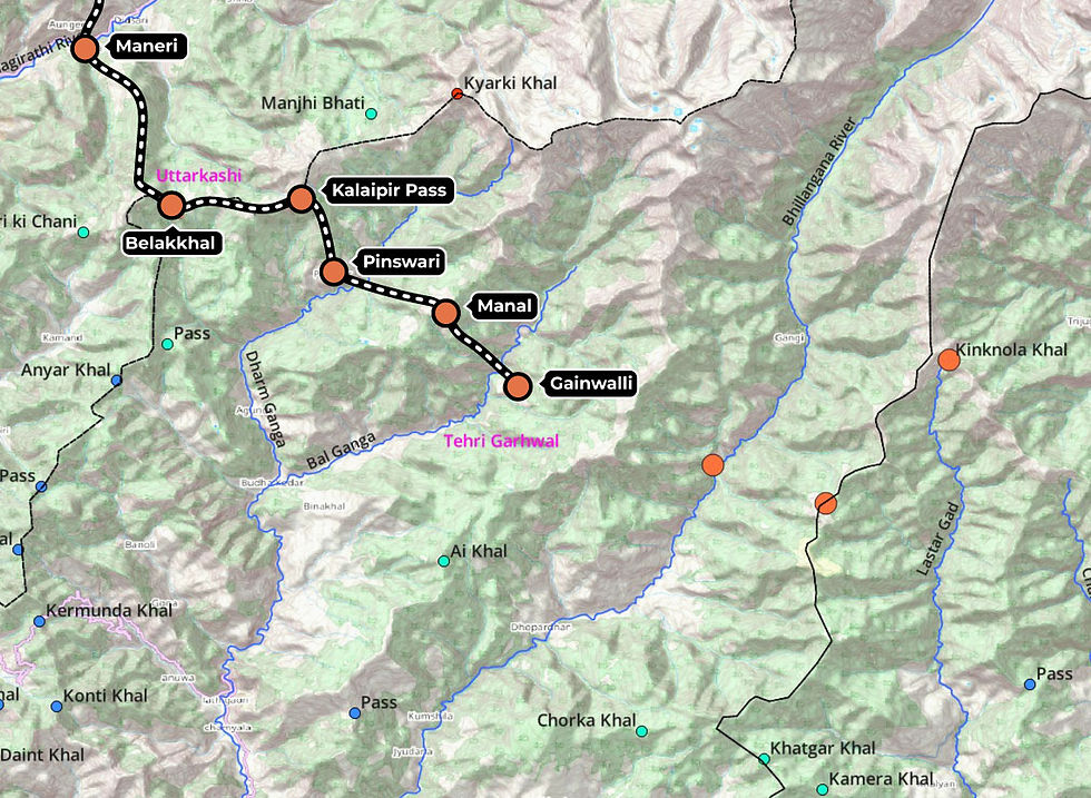
Bellakh to Pinswari (via Kalaipir pass), June 3rd 2023
Trail head
Bellakhal Pass
Villages/Hamlets enroute
Pinswari - Remote village with few shops and dhabas. Limited road connectivity.
Night halt
Halted for the night at Pinswari
The route from Bellakh to Kalaipir pass follows a long continous ridgeline for 8kms. It is an ancient trail marked with erected stones every 20 meters for the first few kms. I bid my host family at Bellakh farewell and started the hike by 9am with rotis and soya curry packed for later. The target destination was Pinswari in the Dharm Ganga valley. This section of the trail had not been mapped on OSM, I relied on the survey map to navigate.
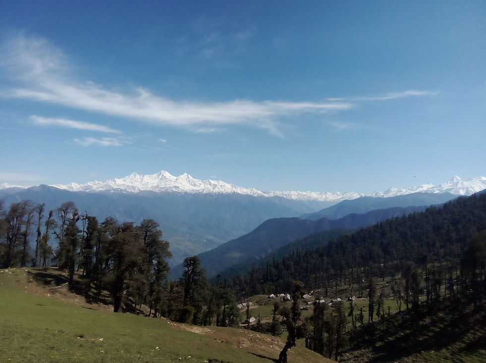
A fantastic view of the Bandarpunch and Gangotri range towers over the landscape as you climb up to the ridge. The landscape is covered by undulating meadows as far as the eye can see with many hamlet on either side of the mountain.
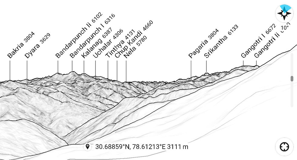
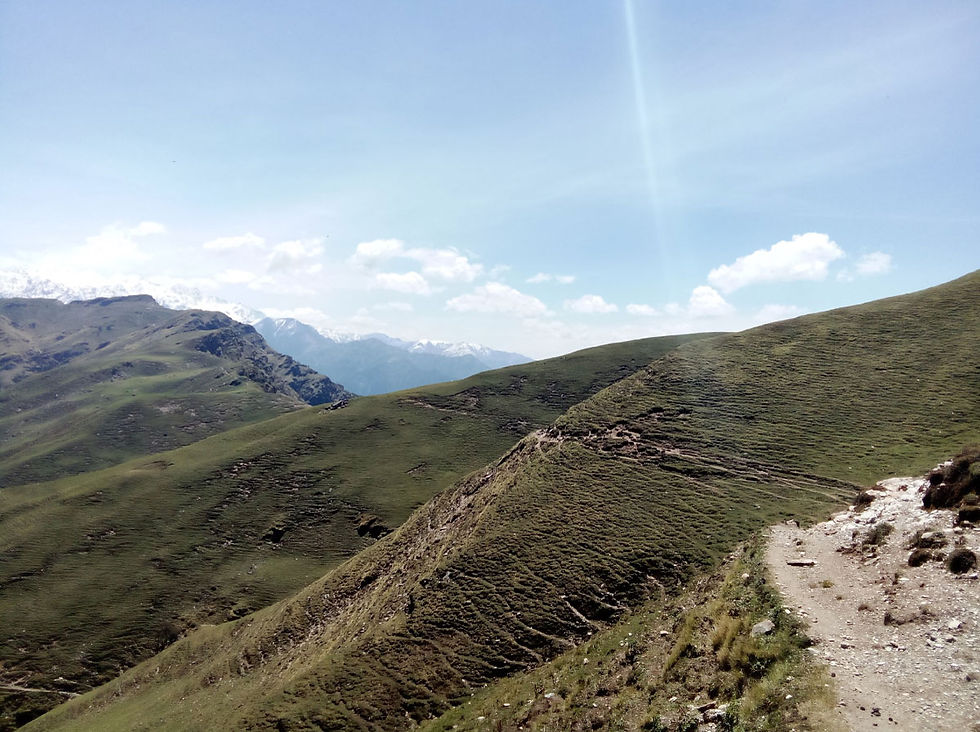
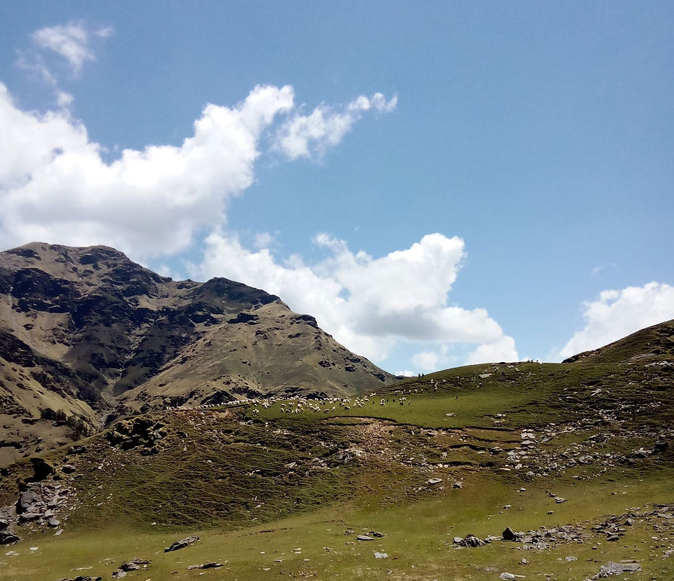
Along the way I spotted a herd of 500 sheep going to the valleys beyond the Gangotri range at the India - China border, a 15 day journey the shepherd told me. What an adventure!
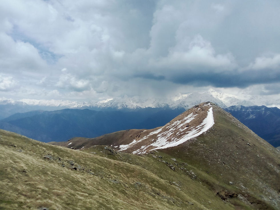
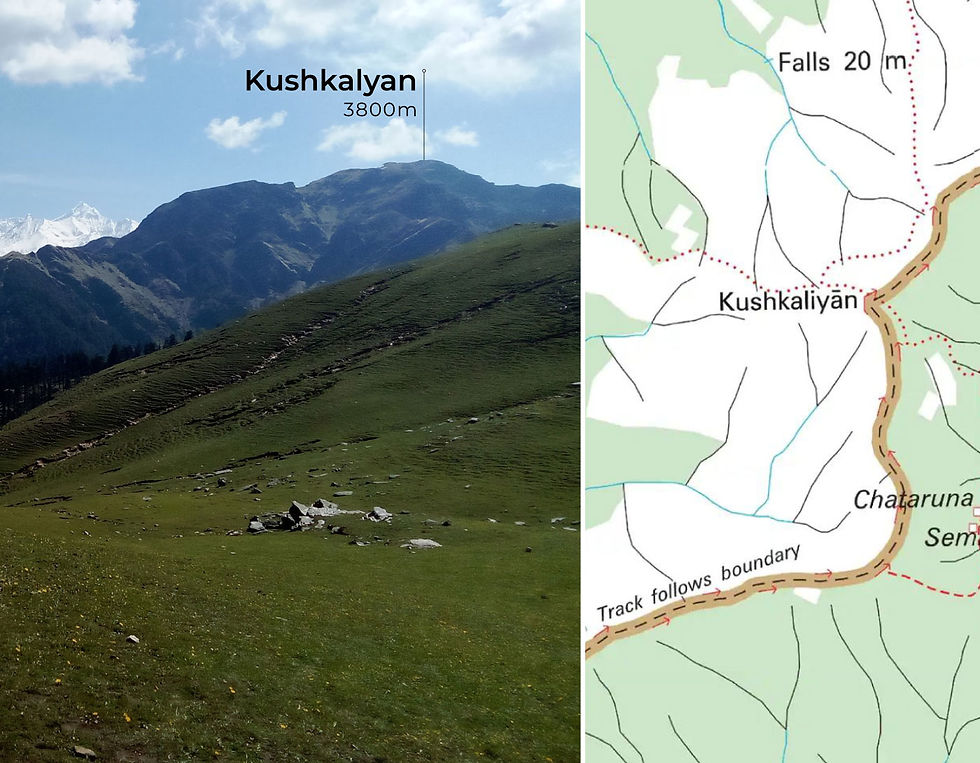
Contouring along the mountain in north direction I hiked up gradually to Kushkalyan, spotting a herd of Musk Deer at the peak. They rushed away as soon as they felt my presence. The hike down to Kalaipir was a gradual descent, many houses lay abandoned at the hamlet. I rested at the pass for a while, eating my packed lunch of roti with soya chunk curry and soon started hiking down to Pinswari.
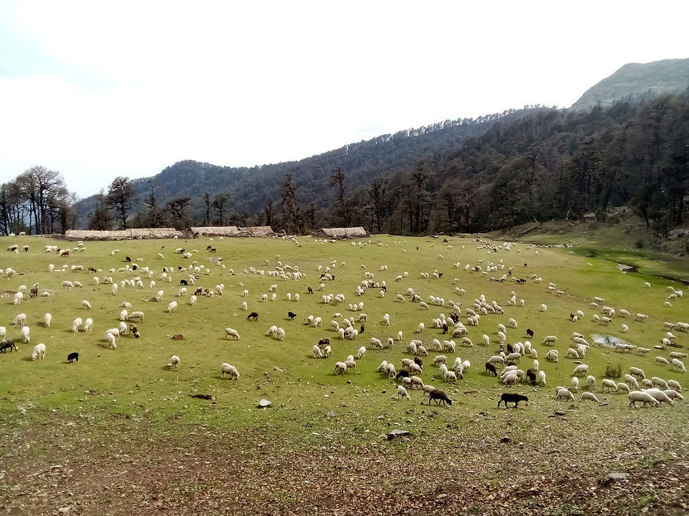
Midway to Pinswari at the hamlet of Hariapu I was accompanied by a local with his horse. The entire stretch has many hamlets along the way before finally reaching Pinswari. I made my way to the shop to resupply on food. Locals had gathered there, some playing cards and others smoking hookah. The shopkeeper invited me to his house to stay the night and I happily obliged, sleping like a baby under thick heavy blankets in the cold night.


Pinswari to Gainwalli, June 4th - 5th 2023
Note: The mapped trail is incomplete. I went off trail after Rayana towards Gainwali.
Trail head
Pinswari
Villages/Hamlets enroute
Pinswari - Remote village with few shops and dhabas. Road connectivity. limited phone network.
Malan - Remote hamlet with summer dwelling
Rayana - Summer dwelling
Gainwalli - Remote village with a basic shop. Road connectivity, limited phone network.
Night halt
Halted for the night at Rayana
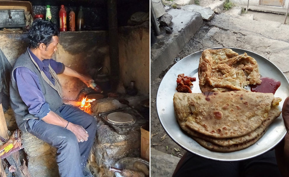
At 8 am after a heavy breakfast of Aloo paranthas and an omelette I began hiking towards Gainwali. The trail from Pinswari leads down to the Dharm Ganga river. Initially I had followed a mapped trail which would go along the river at its base, but I soon disovered that this would not be a viable option as the water level was high and the river was flowing where the trail should have been. I scambled back up a few hundred meters through dense vegetaion, going around steep rocky faces before finding a more clear path which led to a small cement bridge over the Dharm Ganga river.
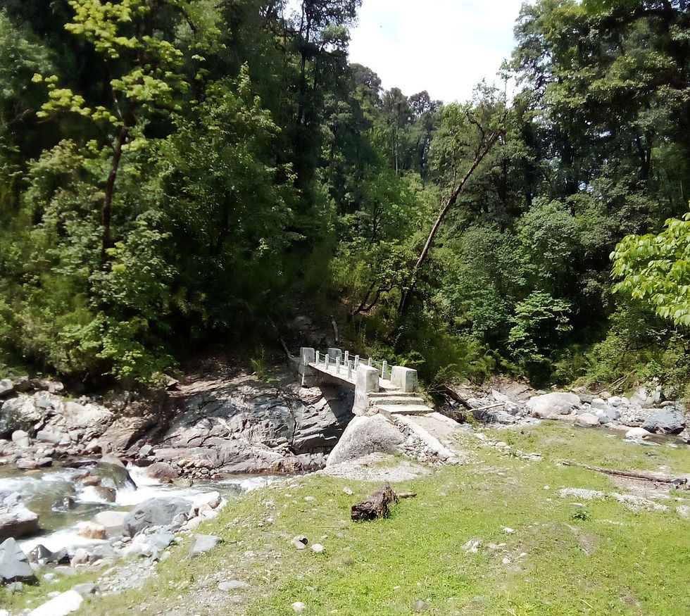

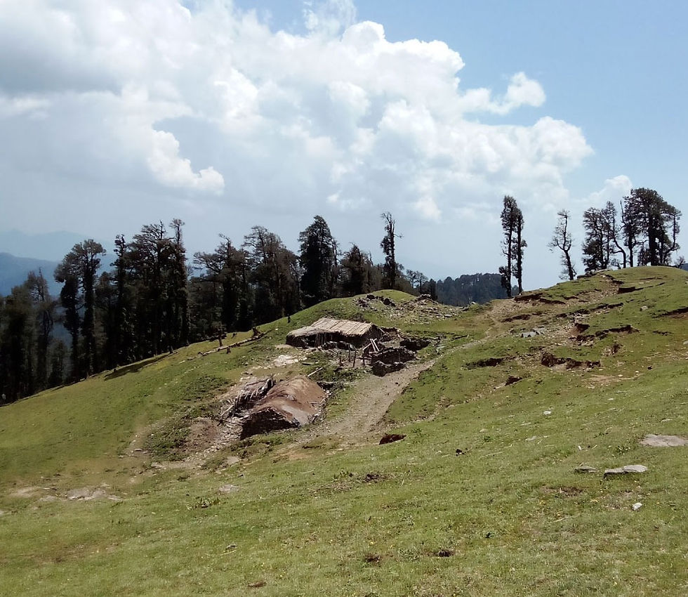
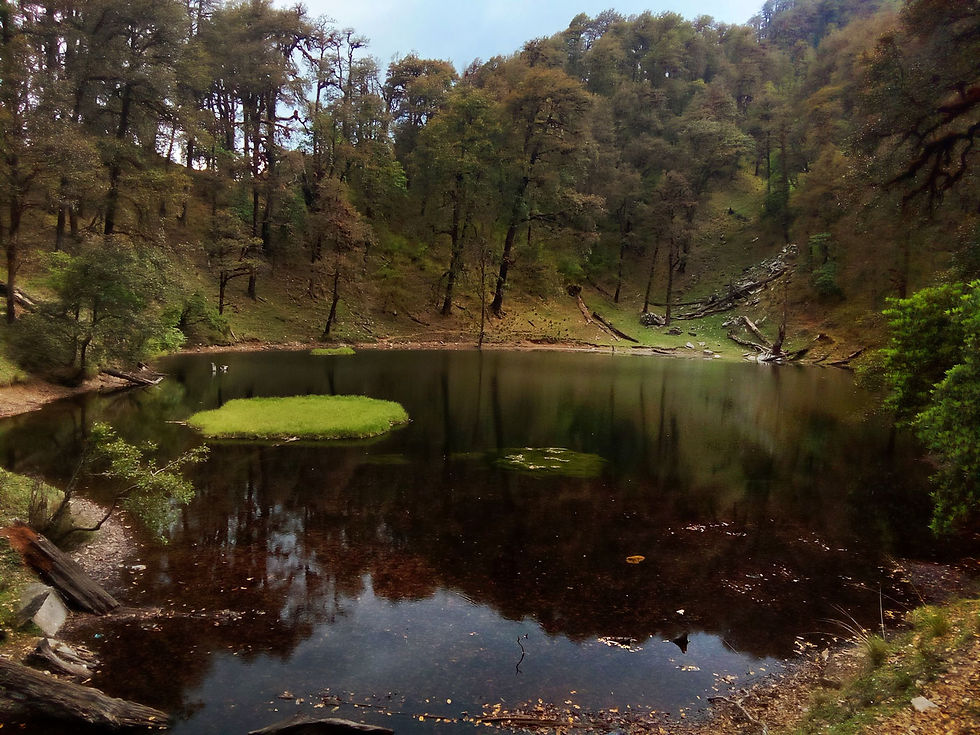
After a steep climb of 400 meters through the jungle the trail cuts through an almost fairy tale like bamboo forest. I spot a few Musk Deer running around, at about 2600 meters the forest clears up and is followed by meadows. Few hundred meters before the pass a tiny hamlet of Manal is situated with a couple of houses used by shepherds. Its around 2pm and the weather was starting to break, I still had a 1000 meters of descent ahead of me so I rushed downhill. Stopping briefly at Chandiar lake, a serene lake surrounded by the woods. The route going down was covered with leaf debris and steep at places. As it started raining I reached the hamlet of Rayana, the houses and animals shelters were deserted. I took shelter there waiting for the rain to stop.
Gainwali was 5-6 kms away and it was still 4pm so as the rain slowed down I started hiking downhill following the OSM mapped track. 500 meters later I found myself in a thick forest, drenched from the rain and very hard to navigate the route as the trail was on a steep, dense forest. Regretting my decision of continuing with the traverse I decided to turn back and take refuge at on of the abandoned animal shelters in Rayana. First priority was to change into dry clothes and get warm. Exhausted and tired I made a fire and settled down next to it for a toasty night in the wild.
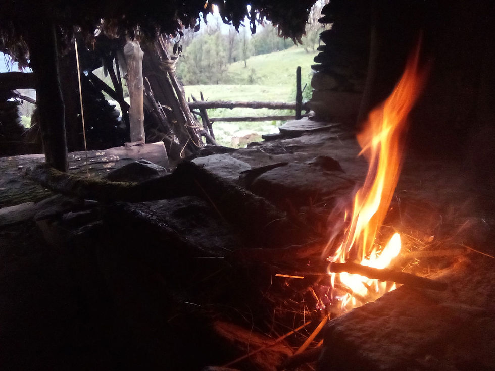
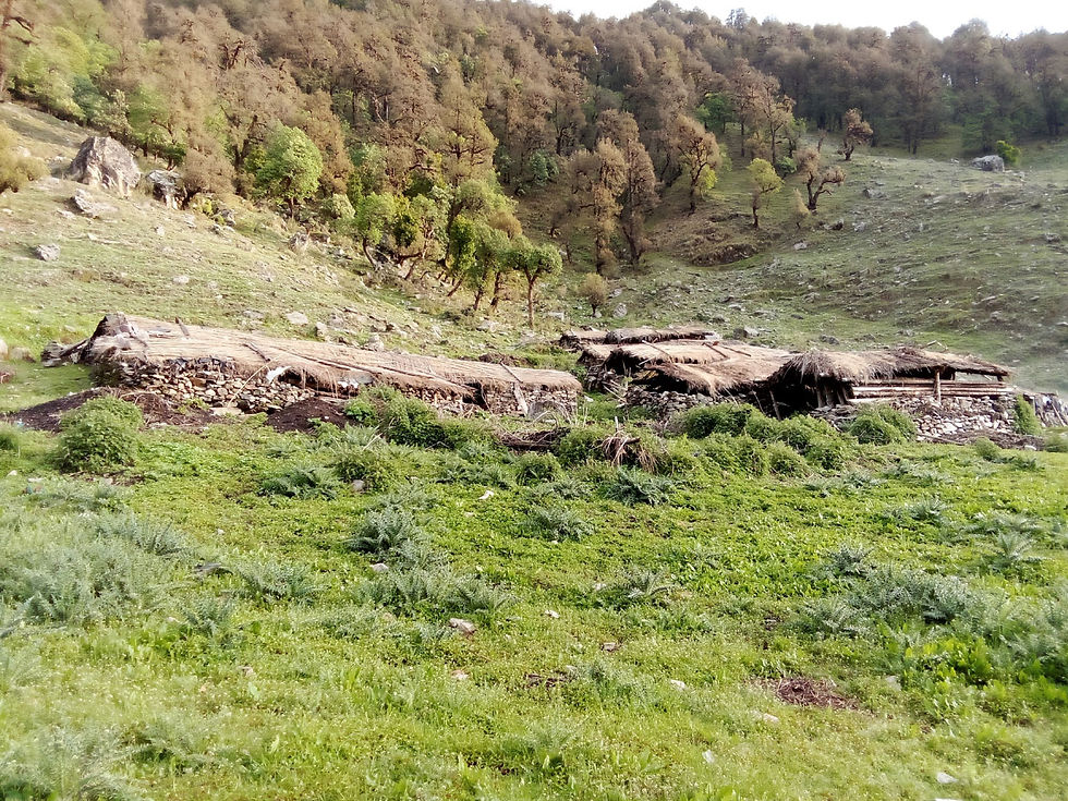

The next morning the weather had cleared up and I started making my way downhill. Aware that the trail ahead was going to be tricky I kept an eye out for possible paths going in a more gradual slope but luck. For the most part I was following sheep trails which were lead me through thick jungle. With lots of time on my hand I moved at a gradual pace picking the easiest line to navigate this maze like forest.

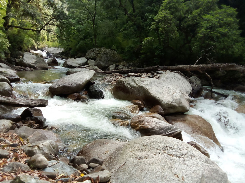
After climbing down 800 meters, I had another 200 meters to get to the river. This was the steepest section where I zig zagged my way very carefully to the Bal Ganga river. Now the next challenge was to find bridge or a suitable section to cross the river. I would spot section where the river was narrow but there would cliffs on the other side which would leave me stranded. I walked downhill along the river and picked a spot where I could spot the trail on the other side of the river. Having my hiking pole as support I got into the freezing waist deep water and waded to the other wide. I breathed a sigh of relief knowing that the tough section of the hike was behind and I had made it through unscathed.
The trail from the Bal Ganga river to Gainwali was clear. Famished after surviving the previous night on peanuts I picked up my pace and walked towards Gainwali in hopes of a hot meal. The farms on the outskirts of the village was beautiful. Completely self sustaining communities living off the land. Which is why even finding a shop or restaurant is a rarity because the villagers are not reliant on these ameneties and there is limited connectivity by road. I eventually made my way to a tiny shop and cooked myself a packet of maggi.


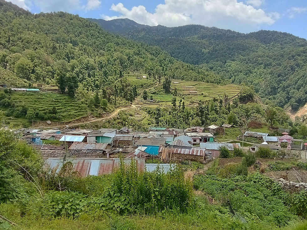
I had not had any mobile network for the last 3 days and while climbing up to Muneri pass later that day I received emails and calls from home. I had to make a tough call of turning back, stopping the traverse midway.
I am excited to be go back this part of the Himalayas for another ultra hike . . . to be continued.


Comments